Studio work
Hunting Simulator 3
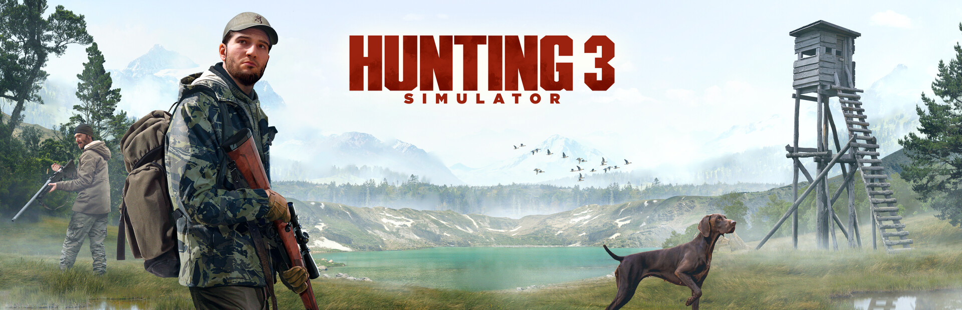
The in-game map, and the features that connect it to the open world.
- Studio
- Nacon Studio Ghent, previously Neopica
- Role
- Gameplay & UI Programmer
- Tech
- Unreal Engine 5, C++, CommonUI
- Released
- 29 October 2026
What I worked on
I worked on the game's map and its map-to-world features8.
- Interactive map. Panning, zooming toward a point, edge panning and analog controller input, all tunable through developer settings.
- Map icons. Static, dynamic and discoverable points of interest, with visibility rules that depend on zoom level and priority.
- Waypoints. Player-placed markers, saved per map through the game's save system.
- In-world navigation. A compass carried over from Hunting Simulator 2 and rebuilt as a widget, a GPS map view and a diegetic in-world GPS.
One list of what's on the map
Anything that should appear on the map carries a map component: static, dynamic or discoverable. Those components register with a single component on the game state, and the map, GPS and compass all work from that one list. Additions and removals go out as events, so the UI never has to know what kind of actor it's showing.
Moving around the map
- Zooming toward a point. The map shifts as it scales so the point under the cursor stays put. A tunable overshoot pulls that point slightly toward the centre of the screen.
- Panning. Dragging and edge panning share one path, and the map is held inside its bounds at every zoom level.
- Controller. The stick drives a virtual cursor with a dead zone, feeding the same panning and edge panning as the mouse. Switching input method mid-session resets the interaction state.
- Readable icons. Icons are scaled inversely to the map so they stay the same size on screen. Below a per-icon zoom level, each one swaps to a smaller version.
Waypoints in multiplayer
- Click or drag. Any cursor movement during a press cancels placement, so panning never drops a marker by accident.
- A limit, without an error. Regular waypoints have a maximum, and at the limit the oldest one is replaced.
- Quick waypoints. Each player has one, placed through the server and tinted with that player's colour. A player's markers are removed when they leave.
- Saving. Waypoints are saved per map through the game's save system. Loading matches saved entries to actors already in the level, restores their state, and spawns the rest. Discovered locations use the same path, so they stay discovered.
Discovery and fast travel
A discoverable location adds its own trigger at runtime, sized from its zone or its icon's discovery distance. Until the local player walks into it, the location shows an undiscovered icon and text and can't be travelled to. Once found, it announces the discovery and removes the trigger.
Fast travel is a hold action on the icon. The open world streams in around the player, so teleporting straight away could land them somewhere that hasn't loaded. Instead a loading screen comes up, the map closes, and the server adds a streaming source at the destination and checks until that area has finished streaming. Only then does the player move and the loading screen clear.
GPS and compass
The GPS reuses the same map panel at a fixed zoom, following the player. A player setting lets it rotate with their heading, with icons counter-rotating so they stay upright. The diegetic GPS shows that same widget on an object in the world.
The compass is built directly in Slate, with marks every 45 degrees and labels every 15, and shows the same map content along its strip.